
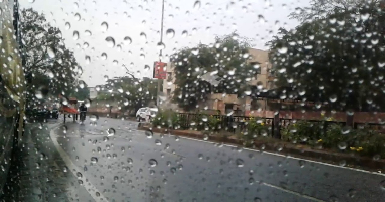
North Indian Plains as well as the hills have started to witness some good rainfall activities. All thanks to the multiple weather systems over these areas. A Western disturbance is over the hills of North India and its induced Cyclonic Circulation is over the plains of North India. Along with this, these two weather systems will slow their movements and result in a convergence zone over most parts of North India.
The entire plains of Northwest India will see some relief from the heat that had been persisting for a while now. Dust storm and thunderstorm along with gusty winds and lightning strikes are expected tonight and will also continue after the weekend. Good rains will also be seen during this time.
Strong squally winds may result in some disruption along the regions. Air travel may also be affected resulting in diversions. Rains will be mostly confined to evening and night hours. Hills of North India will see similar weather conditions for the next five days or so.
