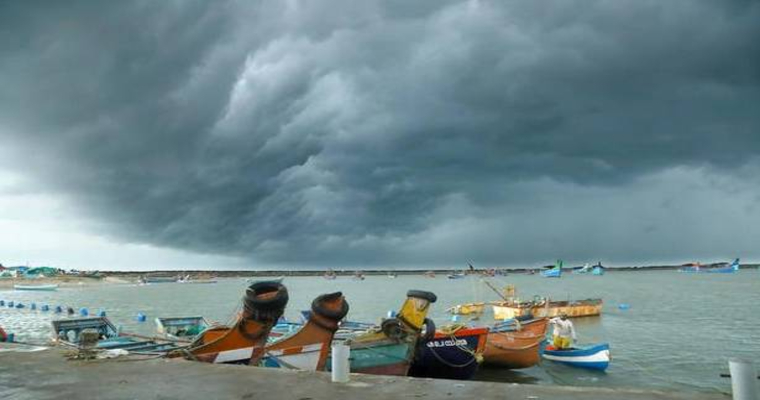
The Bay of Bengal is quite active at present in terms of Monsoon systems. So much so that a fresh low pressure area has formed in the Bay of Bengal. The system entered the Bay of Bengal as a Cyclonic Circulation over Gulf of Martaban and Myanmar yesterday itself.
The system is expected to move across Odisha affecting weather over Odisha and Andhra Pradesh Coast. Thus, rainfall activity is expected on either side of the system including West Bengal, Jharkhand, Telangana, and Chhattisgarh.
The system will be closer to the coast, partly over land and partly over sea by tomorrow i.e. September 25. This system is expected to have a rapid advancement, reaching up to Gujarat by September 27.
Therefore, in between, when the system moves inland, rains are expected to be seen over many parts of Maharashtra, Madhya Pradesh and adjoining areas. Furthermore, the state of Gujarat may see some good rainfall.
In fact, another system will follow after this low keeping Monsoon active through the country until the end of the month, and may spill over to October as well.


