
Cyclonic circulation has formed over East Central and adjoining Northeast Bay of Bengal in the lower levels of the atmosphere. This is a prelude to the low-pressure area likely to form over the same region in the next 24 hours. Further intensification to a depression on 23rd May and likely cyclone Yaas on 24th May is expected.
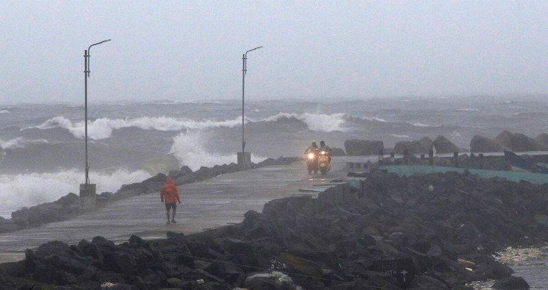
The previous cyclone Tauktae had a long sea travel and therefore intensified to an extremely severe cyclonic storm (ESCS). Tropical storm Yaas, as named by Oman, when developed on 24th May will barely have 500-600km of ocean stretch before the coastline. The storm is expected to move northwest towards West Bengal and North Odisha coast to make landfall on 25th May night or 26th May morning. Environmental conditions are favorable in terms of Sea Surface Temperature and Vertical Wind Shear. Accordingly, it may intensify to a severe cyclonic storm. Thereafter, the proximity of land and likely entrainment may not allow its further strengthening. Still, the storm will be strong enough to cause inclement weather conditions in terms of very heavy rainfall and high velocity gale winds.
Tropical storms are rather mischievous and known for defying the timelines, intensity and track. It happened with cyclone Tauktae also. More clarity about the conduct of the storm will come in the next 24-48hr after the cyclogenesis starts. Notice time for the strike this time will be less and therefore preparations must commence quickly to face the challenge.
