Rain and Snowfall Likely Over Western Himalayas After a Prolonged Dry Spell

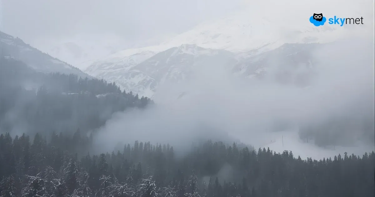
Image: AI-Skymet
Key Takeaways
- The Western Himalayas are set to receive rain and snowfall after a long dry spell.
- A feeble Western Disturbance will affect the region between December 13 and 15.
- A stronger system from December 17 may bring moderate to heavy snowfall at higher altitudes.
- Colder conditions are likely to spread across North and Central India after December 21.
After an extended dry phase, the Western Himalayas are finally heading towards a fresh round of rain and snowfall. The region has been awaiting a long-due weather change, as the last notable spell of precipitation occurred on November 4 and 5. Prior to that, the first week of October brought two significant spells—one on October 2, and a heavier, widespread one on October 6, when nearly 80% of Jammu & Kashmir, Ladakh, and the higher reaches of Himachal Pradesh were covered in snow. The October 6 event remains the first and only heavy spell of the season so far.
First Western Disturbance Arriving on December 13
A feeble Western Disturbance is set to approach the Western Himalayas on December 13. Under its influence, light rain and snowfall are expected over Gilgit-Baltistan, Muzaffarabad, and the upper reaches of Jammu & Kashmir and Ladakh between December 13 and 15.
Himachal Pradesh is also likely to receive scattered rain and snow on December 14. Although this system is weak, it will help break the prolonged dry spell and provide some much-needed precipitation to the higher reaches.
A Stronger Western Disturbance From December 17
Another, more intense Western Disturbance is likely to impact the region starting December 17. This system appears stronger in configuration and is expected to bring moderate rain and snowfall, with isolated heavy spells, over Jammu & Kashmir and Ladakh between December 18 and 20.
Himachal Pradesh will again witness rain and snowfall during this period, though the intensity may remain lower than in the northernmost regions. Uttarakhand, however, is expected to experience only light and isolated weather activity.
This second disturbance will be the most promising system of the season since early October and may contribute significantly to snow accumulation over higher altitudes.
Temperatures Set to Drop After December 21
The combined effect of these two Western Disturbances will not only revive winter precipitation but also pave the way for a noticeable drop in temperatures. Once the systems move away, cold northwesterly winds will sweep across the northern plains and parts of central India from December 21 onward. This will lead to a sharp fall in minimum temperatures, signalling the onset of a colder phase across Northwest and Central India.
Outlook
With two back-to-back Western Disturbances approaching, the prolonged dry spell over the Western Himalayas is finally set to end. The upcoming precipitation will be crucial for replenishing snow cover, supporting water reserves, and strengthening the region’s winter cycle. Residents and travellers should prepare for colder conditions and possible disruptions over higher mountain passes during the active snowfall period.