
On and off rains and thundershowers have been continuing over parts of Kerala and few areas of South Interior Karnataka and isolated pockets of North Interior Karnataka since the last few days. However, the intensity remains light with just a couple of moderate spells.
A Cyclonic Circulation is over South Interior Karnataka. Along with this, a north south Trough is extending from Chhattisgarh to Comorin area across South Interior Karnataka and Kerala.
Now, these on and off Pre Monsoon activities are expected to continue for the next 24 hours, until May 21 due to the presence of the aforementioned systems. Thereafter, the intensity will increase over many parts of Kerala as well as South Interior Karnataka between May 22 and 25.
During this time, Bengaluru may also see scattered showers with a couple of good showers as well. Thereafter, the system will weaken as a Cyclonic Circulation is likely to form over Southeast Arabian Sea leading to decrease of moisture incursion over South Peninsular India including Karnataka and Kerala. This will lead to reduced rainfall activity.
In a nutshell, between May 22 and 25, rains will increase with enhances rainfall likely over South Coastal Kerala as well as South Interior Karnataka. Scattered rains will continue over other parts of Kerala as well. Light rains may be seen over northern parts of Interior Karnataka.
Temperatures after May 25 will see an increase over both the states. North Interior Karnataka which is already seeing high temperatures may see heat wave conditions then.
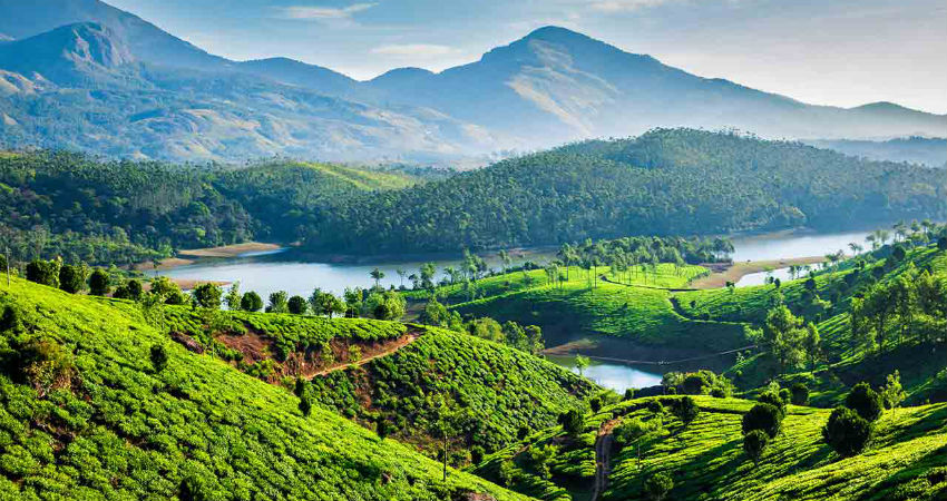
Image Credit: Make My Trip
Please Note: Any information picked from here must be attributed to skymetweather.com
