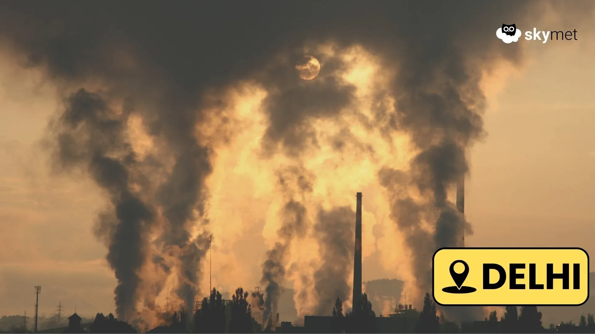
 Winter rains in Uttar Pradesh have been on the lower side only this time. In fact, so far in the month of January, East Uttar Pradesh is observing a deficiency of 87 percent, and West Uttar Pradesh of 99 percent. Now,a series of active Western Disturbancesare expected to start affecting the Western Himalayas January 20 onward.
This system is also expected to induce a Cyclonic Circulation over the Northern Plains, due to which, there are chances of scattered rains in West Uttar Pradesh including Agra, Meerut, beginning on the night of January 21. Gradually, the rainfall intensity is expected to increase and will also cover more parts of the state.
Western and central parts of the state, in particular, will receive moderate rains during this time. However, southern parts, including Jhansi and adjoining areas will see light scattered showers. Rainfall intensity will also be less over eastern districts, however, Prayagraj, Varanasi will receive good rains between January 22 and 25.
Thus, day temperatures will drop by 4 to 5 degrees Celsius, while minimums will increase by two to three degrees during the next few days. Its effect will be seen overKumbh Melaas the winter chill will increase during the day in this period.
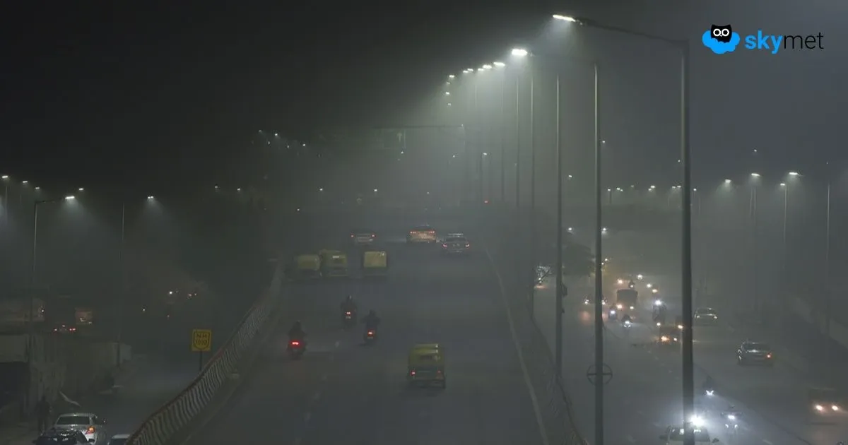
After January 25, weather will gradually start clearing up and as these rains will increase the humidity levels, dense to very dense fog may commence over many parts on January 26 and 27.
Image Credit: wikipedia
Please Note: Any information picked from here must be attributed to skymetweather.com