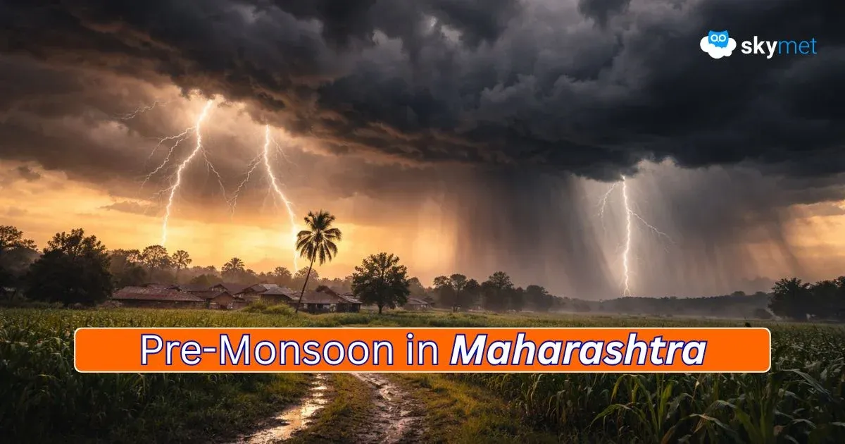
Week Long Weather Activity Over Mountains: Heavy Snowfall Next Weekend


Key Takeaways
- Northern mountains are facing an extreme snowfall deficit of 95–100% so far this winter.
- A western disturbance and induced system will trigger widespread rain and snow from 22nd January.
- Heavy snowfall is likely between 24th and 26th January across all hilly states.
- Transport, tourism, and flights may face major disruptions during this period.
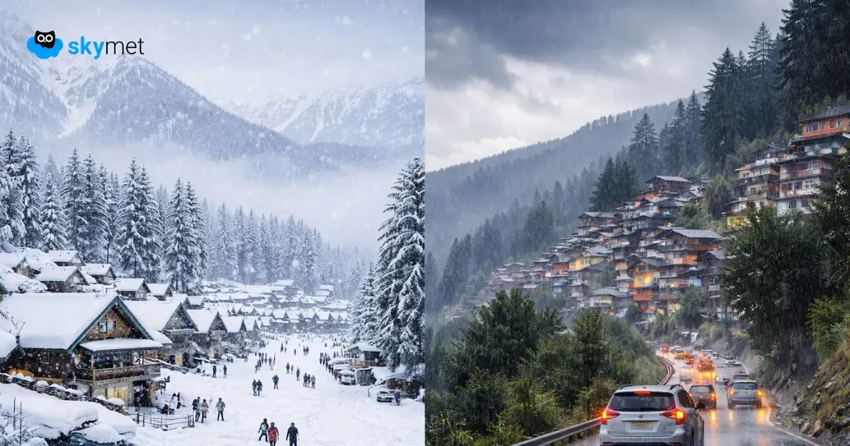
The northern mountains have remained largely rain- and snow-deficit this winter season. The month of December was a total washout, with a seasonal shortfall in excess of 90% across the hilly states. The situation is no better so far across the board. In the first two weeks of Jan 2026, the snowfall deficit has climbed further and ranges between 95% and 100%. There is some hope, and help seems to be on its way. Week-long weather activity is expected, increasing substantially next week and dumping heavy snow around the weekend.

A western disturbance has already advanced to influence the higher reaches. Rain and snow are expected to commence soon over the elevated peaks, roughly above 12,000 feet. Clouding has also reached the lower mountains, Kashmir Valley, and the foothills. Very soon, an induced cyclonic circulation is likely to form over the central parts of Rajasthan. The dual effect always strengthens the speed and scale of weather activity.
Visible manifestation of rain and snow together, both over mountains and plains of North India, will be on display from 22nd Jan onwards. Intensity and spread will keep building up the tempo and culminate just around Republic Day 2026. The weather activity will begin from Jammu & Kashmir and Ladakh on 22nd Jan 2026 and keep spreading for the subsequent 4–5 days. All the hilly states of North India will come under a simultaneous attack of adverse weather between 24th and 26th Jan 2026.
The upcoming spell of weather looks to be heavy and punishing. Typical troubles and hurdles impacting transportation over the difficult terrain will disrupt normal life. All the tourist attractions like Srinagar, Pahalgam, Gulmarg, Manali, Dalhousie, Shimla, and Mukteshwar will be struck simultaneously. Highways and arterial roads will be at risk of getting clogged. Air travel is also expected to be disarrayed, impacting flight schedules. Broad clearance may come up only during the fag end of the month. The forecast will be reviewed when the event gets closer.
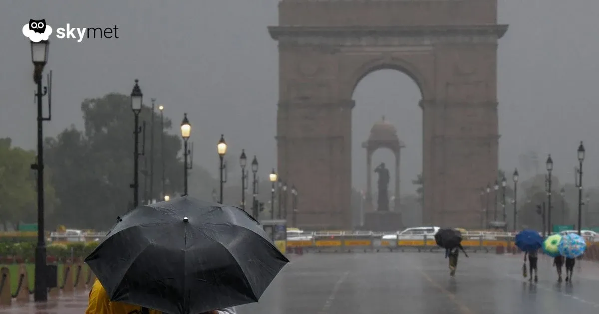
Trending: El Nino May Return During Monsoon 2026