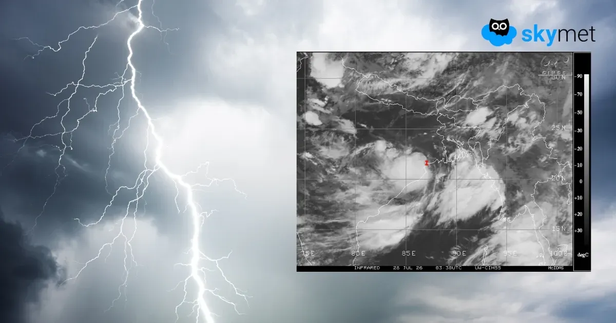
पूर्वोत्तर में फिर एक सप्ताह भारी मानसून बारिश, असम और अरुणाचल भारी वर्षा का अलर्ट, बढ़ेगा बाढ़ का खतरा
Week-Long Rainfall Activity Over Northeast India: Assam - Arunachal At Risk of Heavy Rainfall
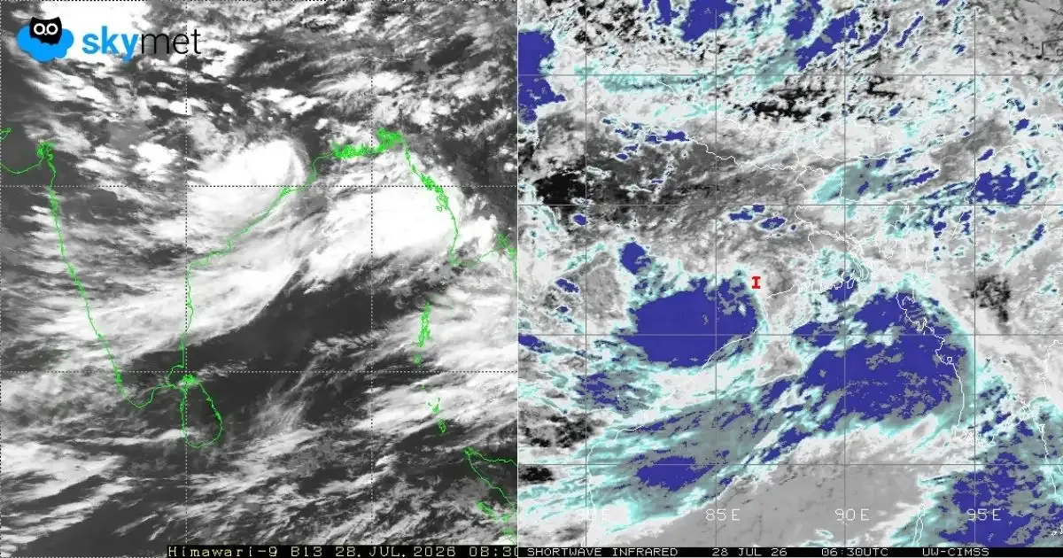
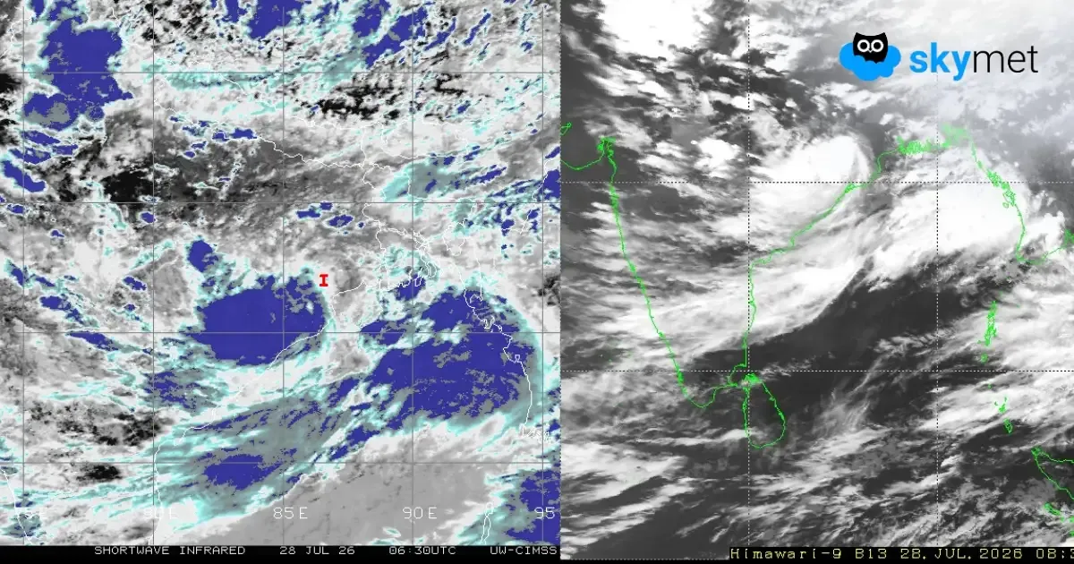
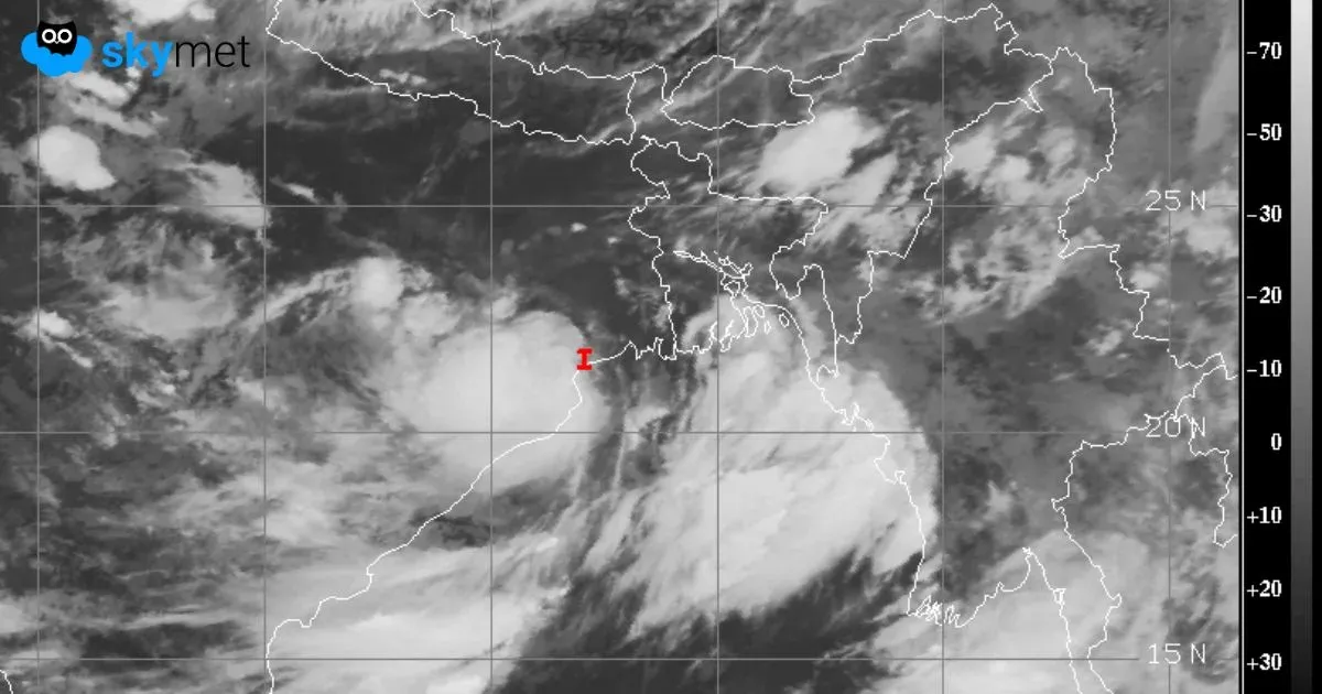
दीघा तट पार कर आगे बढ़ा डीप डिप्रेशन, ओडिशा-छत्तीसगढ़ में अति भारी बारिश का अलर्ट, जानें किन जिलों पर सबसे ज्यादा खतरा
Deep Depression Crosses Coast: Very Heavy Rainfall Over Odisha-Chhattisgarh