
Pre-Monsoon season for India kick starts from March. This season not only marks the beginning of intense thunderstorms in the country but is also known as the pre- cyclone season for Indian Seas. The Pre - Monsoon cyclone season span from March to June. The month of June though is an onset month for the Southwest Monsoon, but since it takes a few weeks to establish, the month can host some pre-monsoon storms.
We have not seen any cyclone in March this season. As such the probability of formation of cyclone in March is very less. This can be ascertained from the figure that there have been only 5 cyclones formed between 1900 and 2019 and none of them made landfall over the Indian landmass as a cyclonic storm. In fact, all of them had been in the Bay of Bengal or the Indian Ocean and nil in the Arabian Sea.
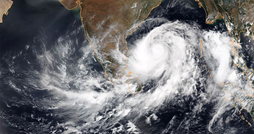
The chances of the formation of a storm in April are better and higher in the Indian Seas. One of the essential characteristics for the formation of a storm is the shifting of ITCZ (Inter Tropical Convergence Zone) northward. ITCZ is basically an equatorial trough that starts shifting towards Northern Hemisphere, as the Sun crosses the equator. This event, termed as Spring Equinox has already happened on March 20 and paves way for the formation of cyclones for the season.
During the month of April, the probability of formation of a cyclonic storm is moreover the Bay of Bengal, while it is least over the Arabian Sea that is known for cold waters. The main feature of a storm forming during this month is that they usually head towards Myanmar and Bangladesh. Very seldom they recurve and hit the Indian coast. For instance, Extremely Severe Cyclonic Storm FANI had made landfall over Odisha's coast. In fact, it was the strongest ever cyclone to strike Odisha since 1999. The storm was equivalent to Cat IV hurricane and its life span was from 26 Apr - 05 May 2019.
The passage of frequent and active western disturbances across the northern parts in delaying the onset of Pre- Monsoon over many parts. The temperatures continue to be much below normal. Accordingly, the ITCZ has not shown any significant shift and remains inactive north of the equator. On the contrary, the equatorial Southern Hemisphere is hosting a couple of storms in the Indian Ocean and Pacific, off the Australian coast.
Under such circumstances, the possibility of having a cyclonic storm in the Indian Seas during the first half of April is minimal. Also, this year both the oceanic parameters, El Nino and IOD are in a neutral phase. Thus, we do not expect rigorous activity in the Indian Seas during the first half of April. However, we keep a close watch for any development in the second half of April.
