

Heavy Rainfall Over Madhya Pradesh-Uttar Pradesh

Key takeaways:
- Heavy to very heavy rain is likely at a few places over Uttar Pradesh and Madhya Pradesh during the next 48 hours.
- Sidhi in Madhya Pradesh and Hardoi in Uttar Pradesh recorded more than 100 mm of rainfall during the past 24 hours.
- Prayagraj, Lucknow, Kanpur, Ayodhya, Jhansi, Tikamgarh, Satna, Sagar and adjoining areas are among the locations at risk.
- Lightning, gusty winds and localized flooding are likely, while monsoon activity is expected to diminish substantially around the weekend.
- Forecast Validity: Next 48 hours.
Advertisement
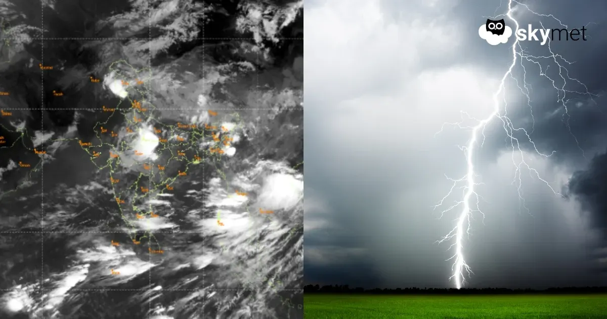
The depression over Chhattisgarh moved northwestward and weakened into a low-pressure area, now marked over Northeast Madhya Pradesh and adjoining Southeast Uttar Pradesh. The cyclonic circulation of the system extends beyond 20,000 feet in height. The system will weaken further and merge with the monsoon trough. Heavy rain and thundershowers are likely around the east-west-oriented axis of the trough passing through the border areas of East Uttar Pradesh and Northeast Madhya Pradesh.
Advertisement
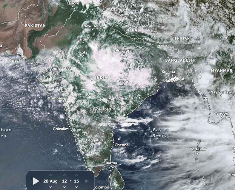
In the past 24 hours, heavy rains have lashed parts of Uttar Pradesh and Madhya Pradesh. Sidhi in Madhya Pradesh and Hardoi in Uttar Pradesh received over 100 mm of rainfall in 24 hours. Proximity of the seasonal monsoon trough, passing through the low-pressure area, will increase the spread and intensity of weather activity for the next two days. As the low-pressure area is not likely to move much, the same region will have more rain and thundershower activity, heavy to very heavy at a few places, during the next 48 hours. The activity will reduce thereafter, becoming moderate at most places.
The places at risk will include Prayagraj, Kanpur, Lucknow, Ayodhya, Fursatganj, Lalitpur, Jhansi, Tikamgarh, Chhatarpur, Datia, Nowgong, Panna, Sagar, Satna, Khajuraho, Sidhi and neighbouring parts. The rainfall will be accompanied by lightning strikes and gusty winds. Chances of hailstorms will be minimal. Localized flooding and inundation of low-lying areas are quite likely.
This weather system and its remnants will get diffused in the next about 48 hours. The fury of the monsoon will diminish substantially around the weekend. Another weather system is likely to form over the Bay and coastal parts sometime around 23rd Aug 2026. However, the intense weather activity will mostly remain confined to Bihar, Jharkhand, West Bengal and Odisha. The peripherals of Chhattisgarh, Madhya Pradesh and Uttar Pradesh, sharing the border with the eastern states, will also get the spillover of the main activity.
Trending:



