Increase In Rainfall Activity Over South India: Precursor To Northeast Monsoon

Live Sat Image, Courtesy: Skymetweather.com
The southwest monsoon will soon resume its withdrawal from the central and eastern parts of the country. The northeast monsoon for the South Peninsula waits in the wings during this phase. Actually, the retreat of the southwest monsoon is nothing but a forbear of the changeover to the northeast monsoon. Sometimes, these two important features overlap, making it difficult to distinguish the cessation of one and the initiation of the other over the southern parts of the country.
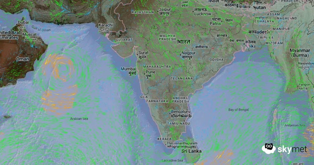
Rainfall activity over the South Peninsula is expected to pick up during this week. Multiple factors are joining hands and activating a rainy spell over the sub-divisions below 15°N, on either side of the coastline. There is a cyclonic circulation over the Southwest Bay of Bengal, off the Tamil Nadu coast. An east–west trough extends from this circulation to Coastal Karnataka, running across Rayalaseema and South Interior Karnataka. A fresh cyclonic circulation is likely to form over the North Bay of Bengal, with a trough along the east coast, in the next 36 hours.
Scattered rains of moderate intensity are likely over Tamil Nadu, Coastal Andhra Pradesh, Rayalaseema, South Interior Karnataka, Coastal Karnataka, and Kerala. These showers are expected predominantly between 8th and 12th October. A brief pause in intensity and spread is expected before rains pick up again in the third week of October. The wind pattern is already showing signs of changeover over the Bay of Bengal. Easterly winds are on the verge of replacing the monsoon westerlies, which is the first and foremost condition for the ingress of the northeast monsoon.
Rains are likely to catch up with many places across the interiors of the South Peninsula. Isolated heavy rains cannot be ruled out during this period. The preferred places will include Chennai, Villupuram, Tiruvannamalai, Vellore, Trichy, Madurai, Tirupati, Anantapur, Kurnool, Ongole, Bengaluru, Mysuru, Mangalore, Kochi, Kollam, Kottayam, and Thrissur.
