Low Pressure Area Forms Over Bay Of Bengal: Revive Monsoon Activity By End Of Week

Representational Image: Canva
The countrywide rainfall has decreased over the last three days. The monsoon activity has been confined to eastern states and small pockets of the South Peninsula. As the Pan-India daily normal rainfall reduces in the last 10 days of September, the actual rainfall has dropped even below these standards. Accordingly, the long-period average monsoon rainfall for the season has reduced from 108% to 107% between 01st June and 22nd September. The rainfall activity is likely to remain suppressed for the next 3–4 days and pick up after 25th Sep 2025.
Advertisement
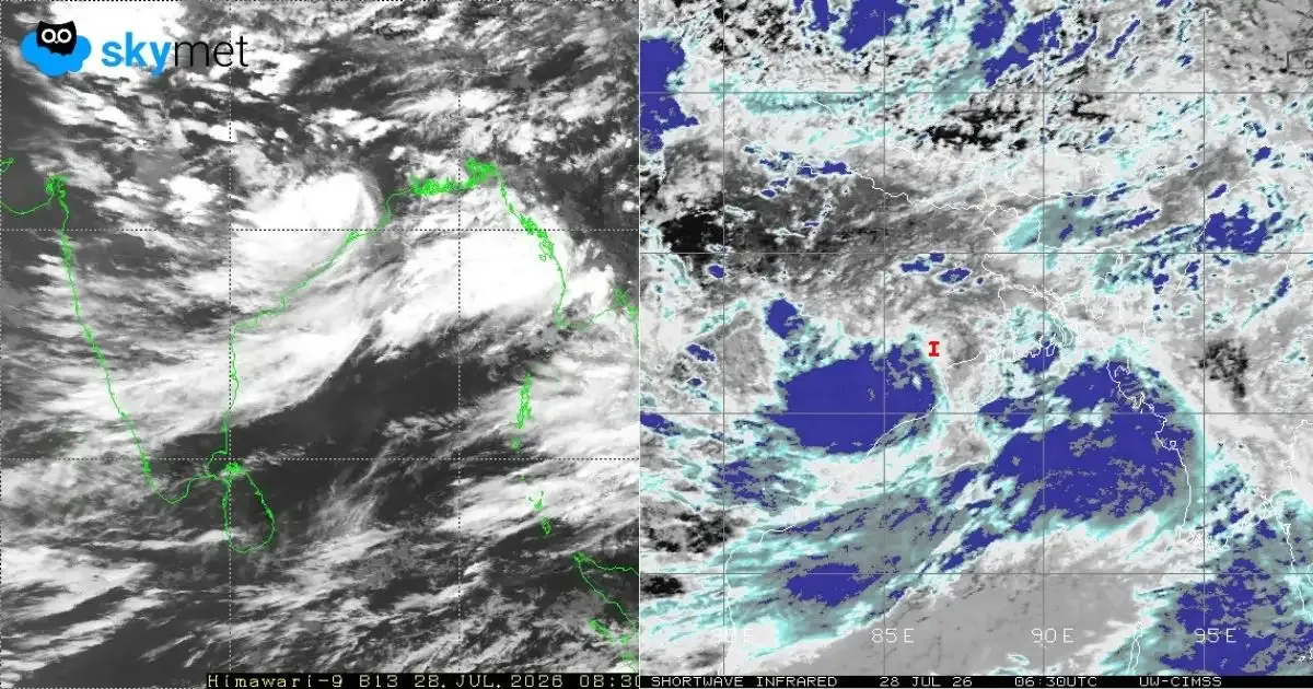
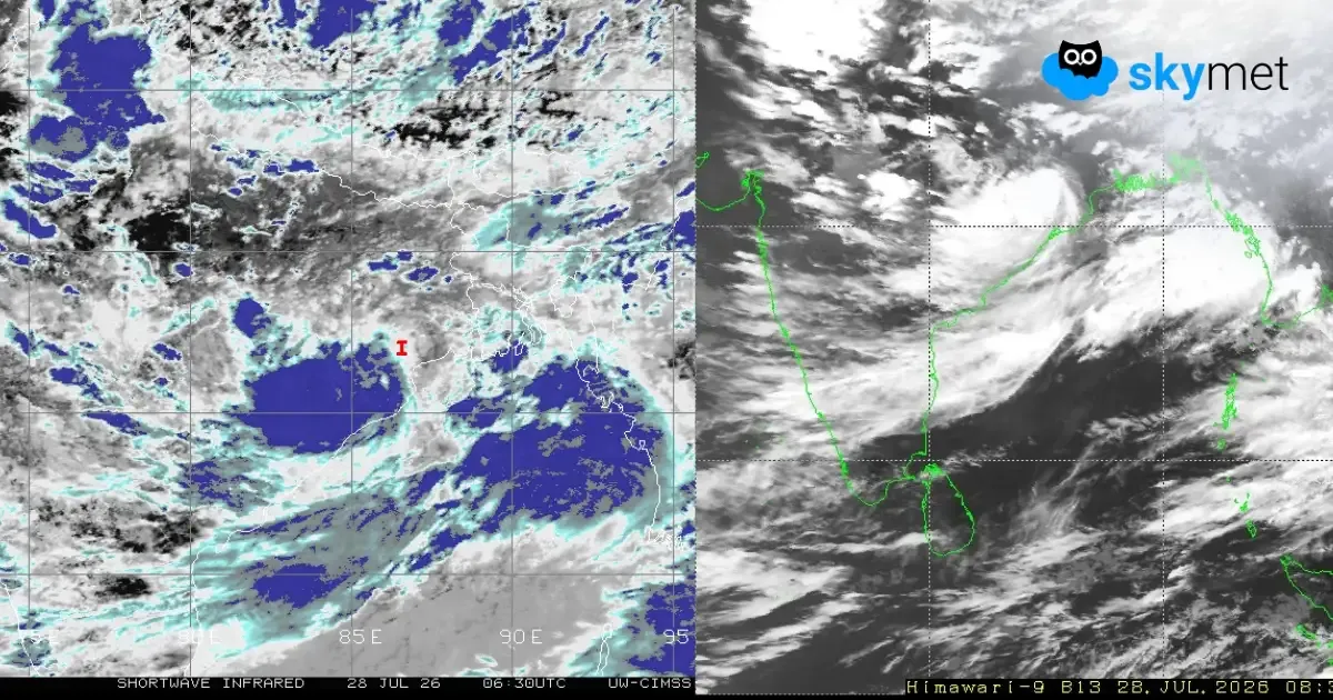
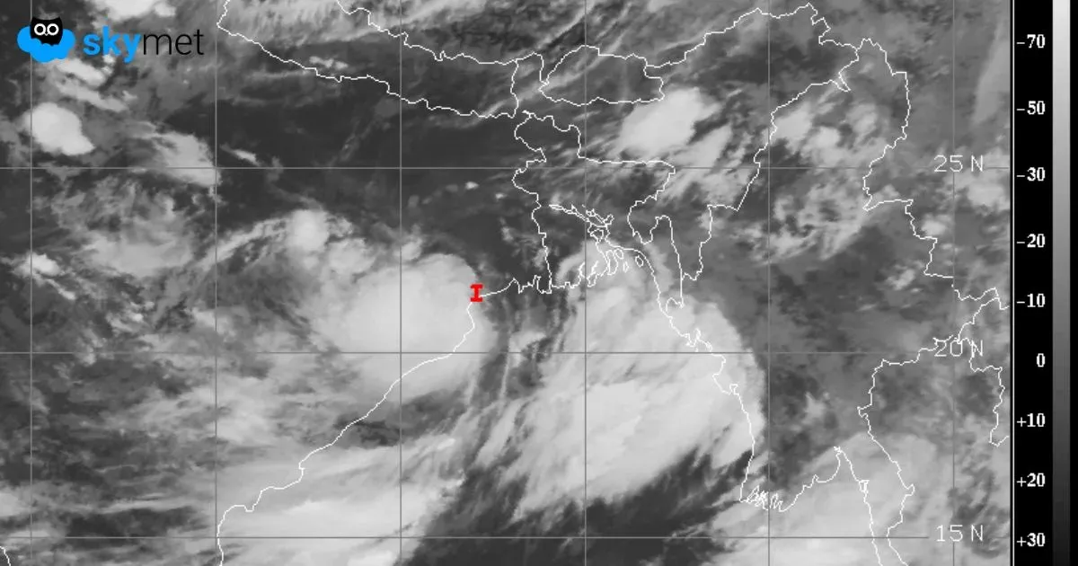
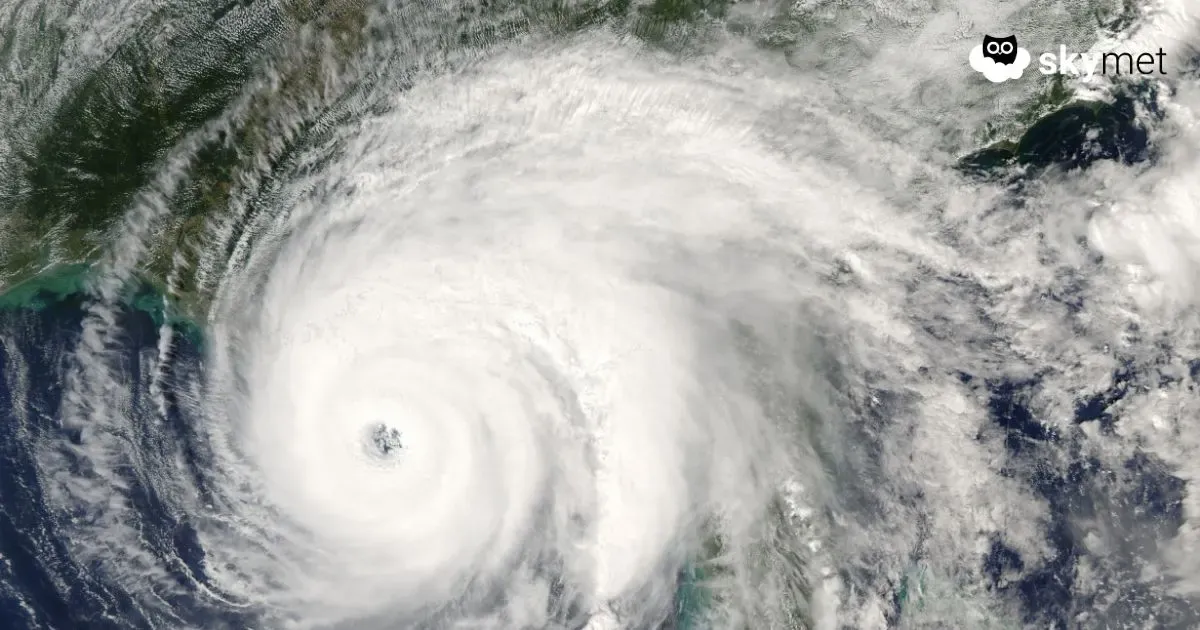
As expected, a low-pressure area has formed over Northeast Bay of Bengal (BoB). The cyclonic circulation of the system is extending up to the higher levels in the atmosphere. This system is likely to move slowly northwest and get positioned over Northwest and adjoining North BoB. Practically, this monsoon system will meander over the sea itself for the next 3–4 days. Its impact will remain confined to coastal parts of Odisha and West Bengal during this period. Scattered moderate rain and thundershowers are likely for the coastal region.
Advertisement
In the meantime, another cyclonic circulation will move across the Thailand and Myanmar region. This will cross the Gulf of Martaban and Arakan Coast and enter Northeast BoB on 24th September 2025. Under its influence, another low-pressure area will form over Northeast BoB on 25th September. This weather system will move northwest and become a depression over Northwest and adjoining West-Central BoB on 26th Sep 2025. The pre-existing low-pressure area will get subsumed by the depression. Together, a deep depression may as well form over the sea the same day. In all probabilities, it will cross South Odisha and North Coastal Andhra Pradesh on 27th Sep 2025.
As the model reliability drops with a lead time of 4–5 days, it may not be right to extrapolate the impact of the system after 26th September. The system will be kept under close observation and reviewed around mid-week, after the cyclonic circulation reaches Northeast BoB. Notwithstanding the future track of these systems, such monsoon lows or depressions do not travel deep after crossing the coastline at this point of time. The southwest monsoon would have withdrawn further from some more northern and central parts by then, making it difficult for these systems to penetrate up to those areas where the monsoon has retreated.
Delhi Weather: Monsoon Withdrawal Soon From Delhi: Dry Weather Week Ahead
Daily Forecast: Weather update and forecast for September 23 across India