
The major highlight for now is that the yesterday’s deep depression has intensified into a cyclonic storm and is presently lying over south-west and adjoining central Bay of Bengal. This system is likely to move in northerly direction and is likely to hit the coast of Andhra Pradesh by December 17 afternoon.
Due to approach of the system, coasts of Tamil Nadu, Andhra Pradesh and Odisha will witness strong gusty winds along the coastal areas. Speed is expected to reach 60-80kmph and may gust to 90-100kmph as well. Sea conditions will be rough to very rough and wave height may reach up to 3.5-5 metres.
Thus, fishermen are advised not to venture along the coastal areas. Heavy to very heavy rain associated with squally winds are expected over northern parts of coastal Andhra Pradesh and South Odisha. Moderate isolated rains are likely over South Andhra Pradesh adjoining Tamil Nadu, East Telangana, Chhattisgarh and rest of Odisha.
A trough is over Laskshadweep and its adjoining areas. Thus, scattered rains are expected over Lakshadweep and few places over south of Tamil Nadu and Kerala. Whereas, state of Karnataka will remain dry.
With the approach of the system, central India will continue to witness dry weather conditions with marginal drop in day and night temperatures over Gujarat and Madhya Pradesh. While Chhattisgarh and Odisha will witness light to moderate rains.
Hazy morning and sunny days with moderate winds will prevail over entire central India.
Click the image below to see the live lightning and thunderstorm across India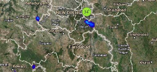
In East/Northeast India, scattered light to moderate thundershower rainfall is expected over southern parts of Bihar, Jharkhand and Gangetic West Bengal which will increase gradually. The northeastern states will witness mainly dry weather conditions except few pockets of Arunachal Pradesh, Manipur and Mizoram. Fog intensity will decrease over northeastern states and day temperature is likely to drop and wind speed will increase.
Up in North, bright sunny day is likely over the hills with drop in night and rise in day temperatures. Ground frost can be seen at isolated places of Uttarakhand and southern parts of Himachal Pradesh. Whereas in plains, marginal drop in night temperatures will be seen over Punjab, Haryana, Delhi and North Rajasthan. Days will be sunny and comfortable with dry and cool winds. Mist and shallow fog may occur over these regions.
In Delhi, it is expected that shallow/ moderate fog will be observed with morning temperature reaching close to 7°C and maximums can touch 23°C.
Any information taken from here should be credited to skymetweather.com
