Dry and Hot Weather in Delhi: Dust Storm, Thunderstorm Likely on Sunday and Monday
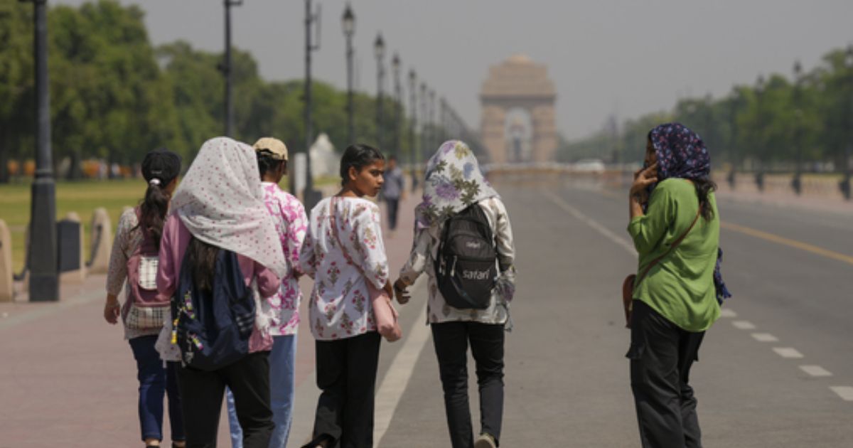
Dry and hot weather conditions continue to prevail in Delhi. The maximum temperature remained above 40°C for the fourth consecutive day. The base station at Safdarjung recorded a day high of 43.3°C, a drop of 0.5°C from the previous day. Overall, the Delhi region registered maximum temperatures between 41°C and 45°C, and they were above normal by 2°C–4°C. Only two stations, Ayanagar and Mungeshpur, could breach the 45°C mark.
Temperatures are unlikely to shoot up abruptly over Delhi and its suburbs. Rather, a marginal drop may occur on account of a change in the wind profile.
There is a cyclonic circulation marked over South Haryana and the Delhi region. It is a small-scale feature surrounded by anticyclonic curvature. There is no moisture being fed to the circulation. Also, there is not much upper-air support for any weather activity. The western disturbance, which provides a trigger, will arrive on 14th June over the mountains. The east-west trough extending from Punjab to Southwest Uttar Pradesh will persist and remain in close proximity to Delhi for the next 3–4 days.
Two features are becoming favourable for the setting in of the next round of pre-monsoon activity over and around Delhi. The approach of the western disturbance and the pre-existing cyclonic circulation will work in tandem to start pre-monsoon activity. In the meantime, there is a fresh monsoon circulation forming over the North Bay of Bengal on 14th June. This will strengthen the spread and speed of easterly winds across the Indo-Gangetic plains. Under the combined influence of these multiple systems, Delhi will experience dust storm activity followed by light showers on Sunday, 15th June. Rain and thundershowers will be higher in scale and strength the next day, on 16th June 2025.
This spell of pre-monsoon weather activity will set the stage for the arrival of the monsoon over Delhi. The weather system forming over the Bay of Bengal will penetrate deep inland and move across Odisha, Chhattisgarh, Madhya Pradesh, and reach the outskirts of Rajasthan by the end of next week. Though the model accuracy drops beyond a forecast of about 4–5 days, there are early signals for a before or on-time arrival of the monsoon in Delhi.


