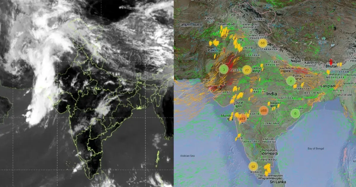
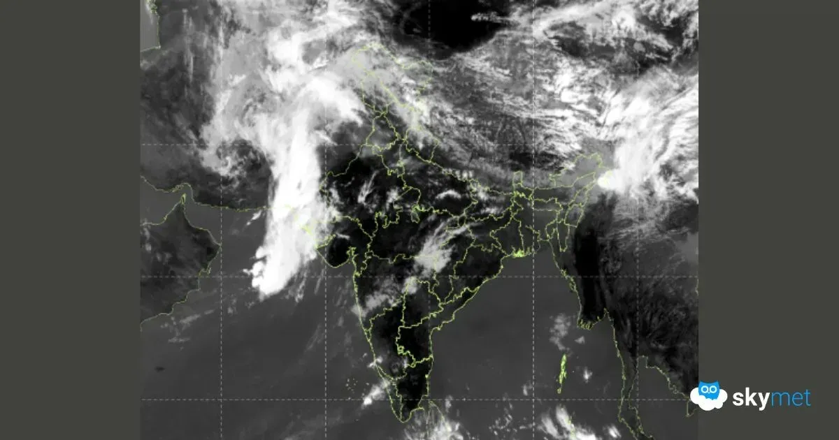
Weather update and forecast for February 10 across India
KEY TAKEAWAYS
- A Western Disturbance will impact the Western Himalayas from February 9.
- Rain and snowfall will intensify on February 10, extending to Uttarakhand.
- Minimum temperatures are expected to rise across Northwest India for two days.
- Dense to very dense fog may affect parts of Uttar Pradesh until February 10.
The weather system over the country:
A Western Disturbance is seen as a trough in middle and upper tropospheric westerly winds, with its axis at 5.8 km above mean sea level, running roughly along longitude 64°E to the north of latitude 21°N. It is likely to approach the Western Himalayan region from February 9.
A cyclonic circulation is present over West Rajasthan and adjoining areas.
Another cyclonic circulation lies over Northwest Uttar Pradesh.
The sub-tropical westerly jet stream, with core winds of around 140 knots at 12.6 km above mean sea level, prevails over Northeast India.
Weather Activity in the last 24 hours:
During the last 24 hours, dry weather prevailed over the entire country.
Minimum temperatures increased by 2–3°C over the Western Himalayan region and parts of northwest Rajasthan.
Forecast for the next 24 hours:
During the next 24 hours, light rain and snowfall are possible over Jammu & Kashmir, Ladakh, Gilgit-Baltistan, Muzaffarabad, and the upper reaches of Himachal Pradesh on February 9.
The intensity of rain and snow will increase, and isolated precipitation may also begin over Uttarakhand on February 10.
Minimum temperatures may rise over Northwest India during the next two days.
Dense to very dense fog is likely during morning and night hours in isolated pockets of Uttar Pradesh until February 10.
Do not miss:
Any information picked from here must be attributed to Skymet!


