Fresh Snowfall Likely Over Mountains : Threat Of Avalanche Increase

Key Takeaways:
- Heavy snowfall reduced rainfall deficit significantly
- North Indian plains recorded surplus rainfall
- Massive avalanche hit Sonamarg, causing property damage
- Avalanche risk may increase after January 30
Heavy snowfall activity over the mountains during last week has reduced the deficit margin substantially. The plains of North India have gone surplus with big numbers. Patiala and Ludhiana have received 97mm and 75mm rainfall during this month which is nearly four times of average figures. Rains have covered large area of Madhya Pradesh and Rajasthan also. However, the increased weather activity in the hills lead to bigger risk of Avalanche which, at times become catastrophic.
Sonamarg in Kashmir has been hit with a massive avalanche yesterday. It has damaged houses and the hotels. Thankfully, no loss of life has been reported. But, it has created panic among the tourists who wish to vacate the place at the earliest.
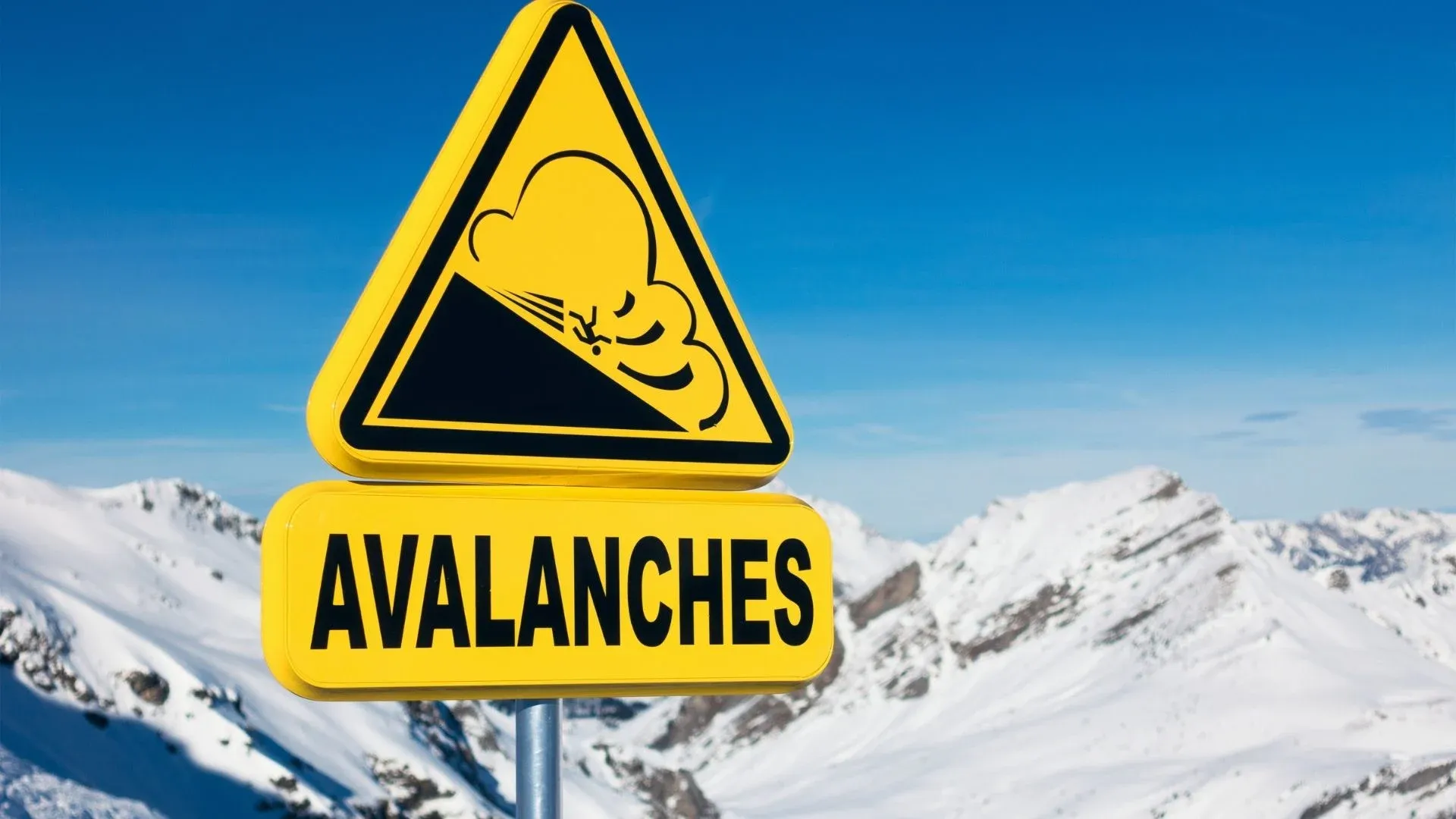
An avalanche is a rapid flow of snow, ice and rocks down the slopes of the mountains. It is invariably triggered in the wake of heavy snowfall over the peaks. Stacks of snow, getting piled up one above the other, collapse under their own weight leading to massive volume of snow with trapped air rolling down and often burying or sweeping anything in its path. Avalanches occurs suddenly, often without any warning and are embedded with devastating potential.
An active western disturbance is likely to arrive on 30thJan 2026. The snowfall activity will continue even before that, over the mid and higher reaches. On arrival of fresh system, the mountain ranges will become vulnerable to renewed spell of snowfall across the region. Avalanche threat will grow along the peaks above 8,000 feet elevation. Due to low temperatures, the snow does not melt and keep stacking building tall mounds. Suddenly, it slides down the slopes with tremendous speed and thunderous noise, decimating the trees, rocks and any other object in its path. The special thing about the avalanche is that, the chances grow large even after cessation of snowfall over the peaks. Caution need to be exercised over the next few weeks, more so, for Jammu & Kashmir and Himachal Pradesh, over the elevated areas.
