
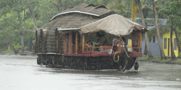
Monsoon 2017 remains active over Kerala, resulting in good rains over the region along with parts of Coastal Karnataka. At present, an offshore trough is seen extending along the West Coast running from Konkan and Goa up to Kerala coast.
Further, with this trough likely to persist, both the regions are most likely to continue to receive moderate to heavy rainfall during the next 48 hours.
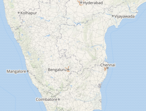
In the last 24 hours from 08:30 am on Thursday, Kodaikanal recorded 39 mm of rainfall, Punalur 33 mm, Karipur 27 mm, Kozhikode 26 mm, Cochin 26 mm, Chitradurga 19.6 mm, Thiruvananthapuram 19 mm, Alappuzha 19 mm, Kannur 17 mm, Kanniyakumari 7 mm, Mangalore 4.2 mm and Madikeri 3 mm.
According to Skymet Weather, these rains will also be responsible for the further advancement of Monsoon, that will now cover entire parts of Kerala, Coastal Karnataka, and South Interior Karnataka in the next two to three days.
CHECK OUT THE LIVE LIGHTNING AND THUNDERSTORM STATUS OVER KERALA, KARNATAKA:
According to Skymet weathermen, the intensity of rain will increase over southern parts of Karnataka in the next 24 hours.
In wake of these ongoing rains, temperatures over most parts of Kerala and Coastal Karnataka have decreased and the weather has already become pleasant.
We expect the temperature to fall further over the interior and coastal parts of Kerala and Karnataka. These weather activities are a result of the timely and good start of Monsoon 2017 over Kerala.
Image Credit: Manorama Online
Any information taken from here should be credited to skymetweather.com
