
The axis of monsoon trough is currently passing through Bikaner, Jaipur, Shivpuri, center of well-marked low-pressure area over Northwest Madhya Pradesh, Daltonganj, Purulia, Digha and towards East central Bay of Bengal.
During the last 24 hours, Monsoon remained active over East Rajasthan, West Uttar Pradesh and East Assam.
[yuzo_related]
Major rainfall contribution came from Meerut that recorded 88 mm of rain, followed by Narnaul 86 mm, Jaipur 85 mm and Pantnagar 72 mm.
As on July 24, the countrywide cumulative rainfall is deficient by 2%. Division-wise, Central and South India are rainfall surplus by 18% and 11%. Meanwhile, Northwest and East & Northeast India are rain deficient by 6% and 32%, respectively.
During the next 24 hours, North Chhattisgarh, East and North Madhya Pradesh, Northeast Rajasthan, Delhi, Uttar Pradesh, Uttarakhand, Himachal Pradesh, parts of Haryana and Punjab, Sub-Himalayan West Bengal, Sikkim and northeastern states would observe active Monsoon conditions that would give light to moderate rains with few heavy spells.
Click the image below to see the live lightning and thunderstorm across India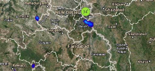
Meanwhile, normal Monsoon conditions will prevail over Jammu and Kashmir, Bihar, West Bengal and along the West Coast that would witness light to moderate rains.
Please Note: Any information picked from here should be attributed to skymetweather.com
