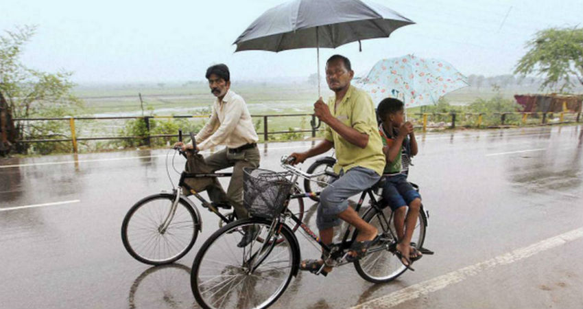
The Low-Pressure Area now lies over North Madhya Pradesh and adjoining East Rajasthan. The system is tilting southwestward with height. Also, the Axis of Monsoon Trough passes through North Rajasthan across the centre of Low-Pressure Area, Uttar Pradesh, North Bihar towards the Northeast states.
In the past 24 hours, the eastern and adjoining central parts of Uttar Pradesh has seen widespread rainfall activities with few heavy spells. As the Trough line will persist to move across Uttar Pradesh, rainfall activity will continue for another three to four days, especially over the eastern and adjoining central parts. While extreme Northwest parts of Uttar Pradesh will be dry and warm. If we talk about 24 hours rainfall then from 0830 hours IST of yesterday to 0830 hours IST of today, Muzaffarnagar and Bharaich recorded 3.4 mm of rains while Lucknow recorded 4 mm of rains.
During the next 24 hours, moderate rains with isolated heavy spells can be seen over Agra, Aligarh, Lucknow, Kanpur, Prayagraj, Shahjahanpur, Gorakhpur, Pilibhit, Rai Bareilly and Jhansi.
Whereas scattered light with moderate spells can be seen over Banaras, Azamgarh, Gonda, Bareilly and mainly dry weather is expected in parts of Meerut, Hapur, Ghaziabad, Saharanpur, and Moradabad. However, localised development of clouds may allow some thunderstorm activities for a short period over these nearly dry areas.
Image Credits – The Hindu
Any information taken from here should be credited to Skymet Weather


