
After sustaining strength of a low pressure area for good four days, the system in East-central Arabian Sea is now all set to intensify further. According to Skymet Weather, the system would strengthen into a well-marked low pressure area in the next 24 hours and further into a depression in the subsequent 24 hours.
Weather models are indicating that the likely depression would be tracking north-northeastwards over east-central Arabian Sea till October 24. Thereafter, the system would start drifting away from the West Coast.
As per weathermen, the system has been following zig-zag pattern, which is quite unusual. The system had initially formed in the open waters, afterwards moving closer to the coast and moving along the coast. Now, the system is likely to once again drift away from the coast in west-northwest direction after two-three days. By then, the low pressure area would have induced a depression.
It is then when system would start travelling in favorable weather conditions of low vertical wind shear and warm sea surface temperatures, which were missing closer to the coast. As a result, chances are there for the likely depression to intensify further, but whether it would be a cyclone or not is a wait and watch situation.
Coastal Karnataka on flood alert
The system would keep Northeast Monsoon active to vigorous in the coming days. As the system tracks along the West Coast, rain belt would also be shifting accordingly. In wake of presence of this likely depression, weathermen have already issued orange-alert for Kerala and Karnataka.
The low pressure area has already given widespread heavy to extremely heavy rains over Kerala. Although intensity has been less but moderate to heavy rains were also recorded across Karnataka and parts of Maharashtra. As on October 21 i.e. today, we can expect torrential rains to lash parts of Kerala, while intensity of rains over Karnataka would be moderate to heavy.
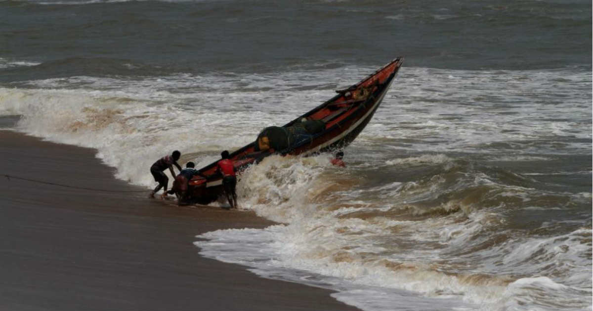
However, rains might take a dangerous turn by October 22, as the system would be intensifying. In wake of this, heavy rains with few extremely heavy spells would be lashing Coastal Karnataka as well as North Interior Karnataka on October 22 and 23. This might trigger flash flooding as well during that time. Rains would be accompanied with thunderstorm, lightning strikes and squally winds. Sea conditions would be rough and fishermen are advised not to venture out in the sea.
Districts like Mangaluru, Karwar, Honavar, Chitradurga, Chikmagalur, Dharwad, Haveri, Shivamogga, Gadag would be on main focus and need to take exercise caution. Weathermen are predicting rains to the tune 60 mm to 80 mm, with few places even surpassing the mark of 100 mm.
Image Credit: NDTV
Any information taken from here should be credited to skymetweather.com
